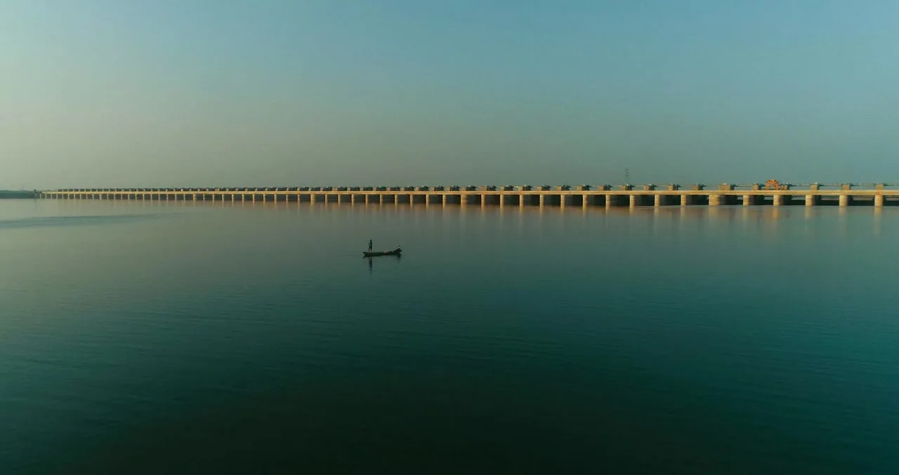
A lone fishing boat rests on the still, lifted Godavari below the barrage at dawn
Dawn on the lifted Godavari · a lone boat below the barrage
The Record of an Engineering Epic

Kaleshwaram
the river that climbs

The Godavari flows along Telangana's northern edge at barely 100 metres above the sea. The fields that needed it stand on the Deccan plateau, 300 to 620 metres high. For sixty years, that gap decided everything. Then Telangana built the world's largest multi-stage lift irrigation project, and taught a river to climb.

Scroll, the land will explain
In One Minute

What exactly is Kaleshwaram?

Four photographs. That is the whole idea: everything below is the detail.

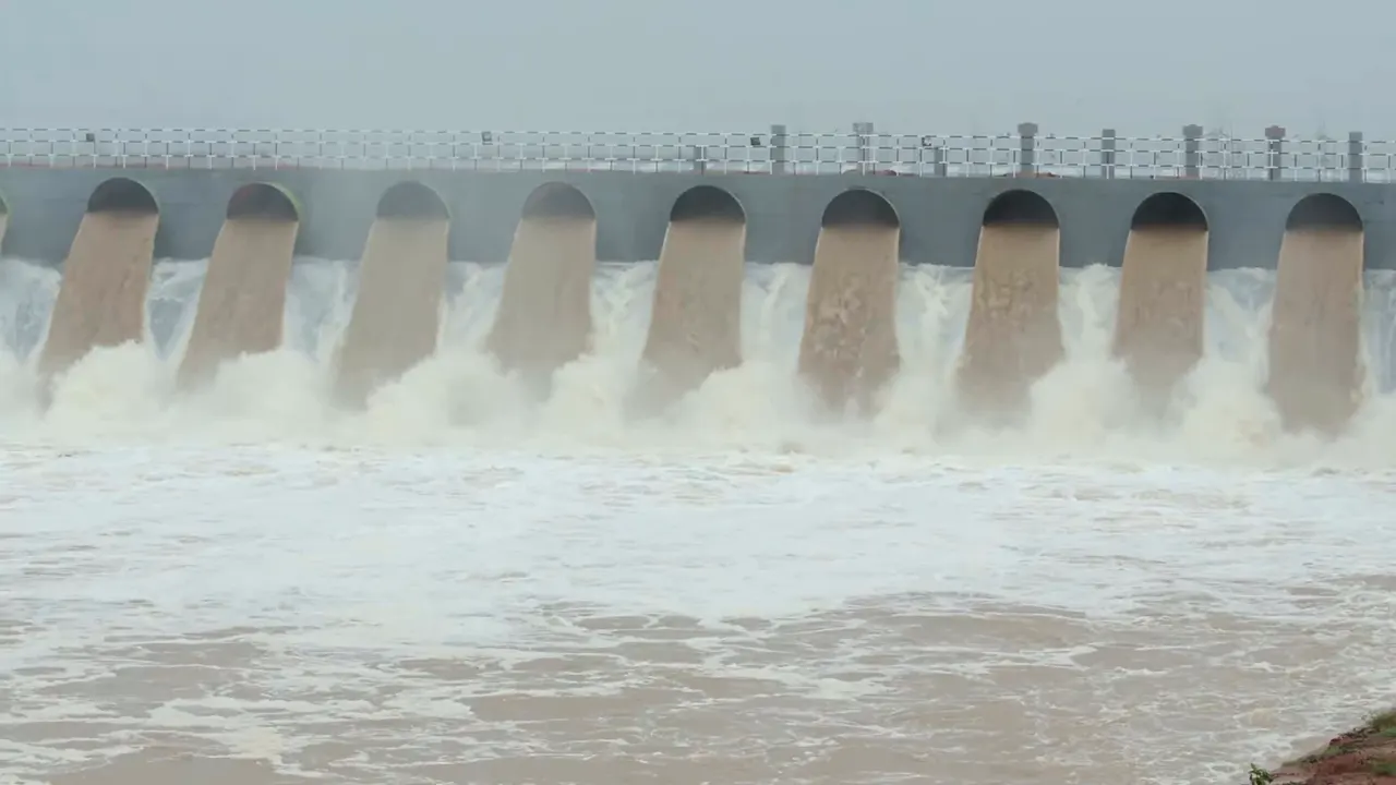
01Flood discharge through the gates of a Kaleshwaram barrage on the Godavari

It catches a river.

At Medigadda, just below where the Pranahita joins, a barrage holds the swollen Godavari in a 16 TMC pond, the lowest point of the whole machine, barely 100 m above the sea.

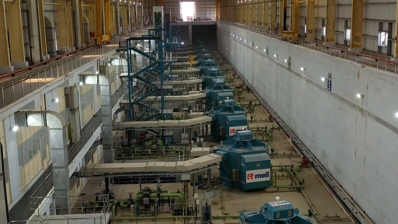
02Inside a Kaleshwaram pump house: a long hall of giant pump-motor units

It lifts it uphill: half a kilometre.

Halls like this, some carved underground, hold the pumps that push the river up the Deccan plateau, station by station, 504 metres in total. Water has never been lifted like this anywhere on Earth.

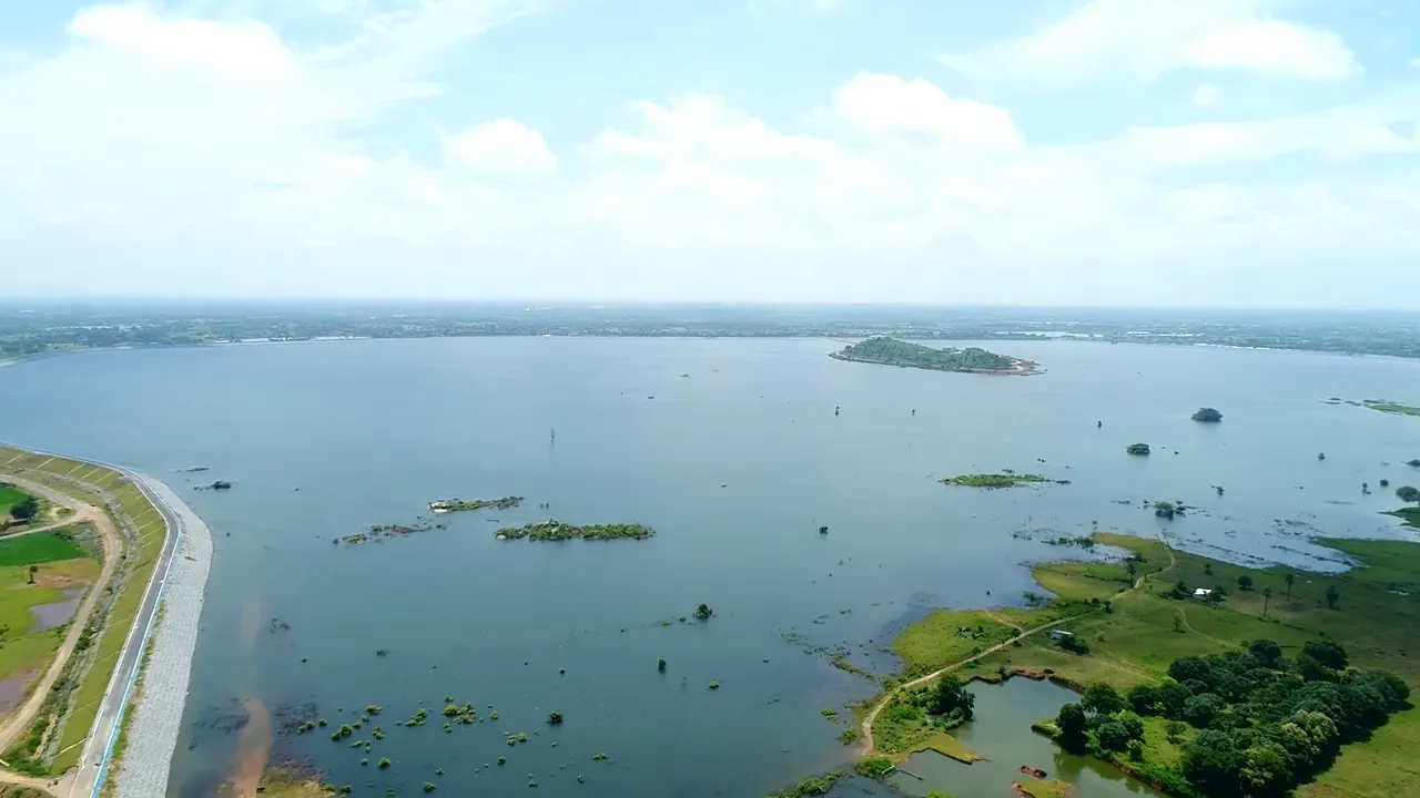
03A vast Kaleshwaram reservoir with islands, seen from the air

It stores it on high ground.

Reservoirs totalling 141 TMC now stand where no river could ever reach, including Mallanna Sagar, at 50 TMC the largest Telangana has ever built.

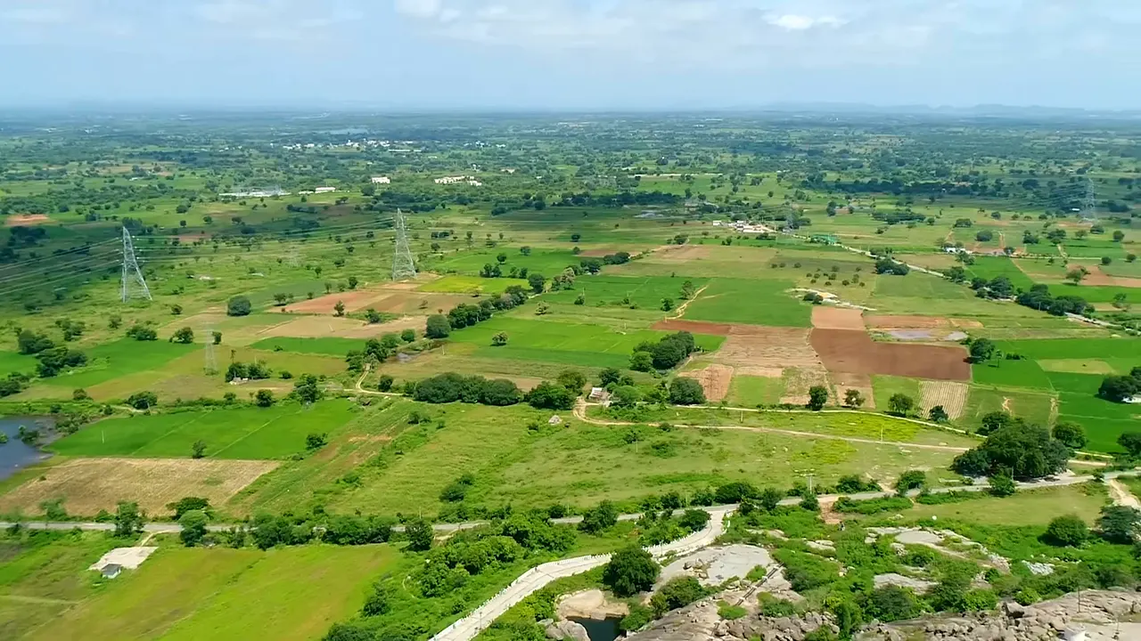
04Green paddy fields irrigated by Kaleshwaram water

It feeds the land, and the people.

From those heights the water flows by gravity: 13 districts of farmland, tanks refilled, and 40 TMC of drinking water, including 20 TMC for Hyderabad.

100mabove sea level
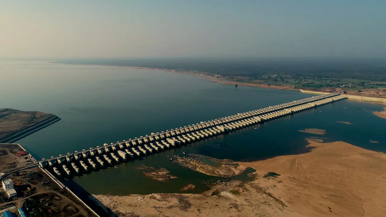
Aerial view of the Medigadda barrage stretching across the full breadth of the Godavari
Medigadda · the Lakshmi barrage, where the climb begins
One Lift, Completely

What one step of the staircase actually is

You have just watched the water climb ten steps. Kaleshwaram is one machine repeated, so this is a single lift at Medigadda, followed end to end, in photographs.

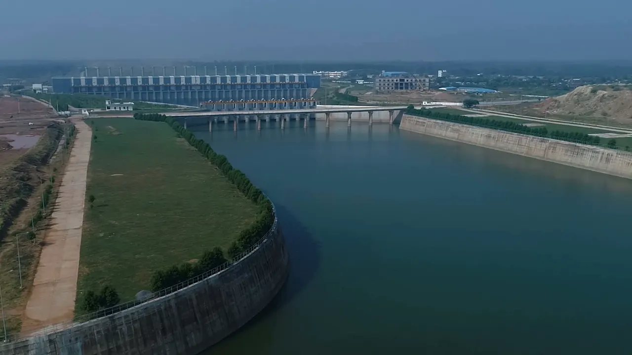
The Lakshmi pump house at Medigadda seen from the air, a long hall beside a wide approach channel
The intake

The river is drawn in.

Water leaves the Medigadda pond through a channel cut into the bank and arrives at the foot of the pump house. Everything past this point is uphill.

100metres above sea
16.17TMC held behind
Lakshmi pump house, Medigadda · MEIL, CC BY 3.0
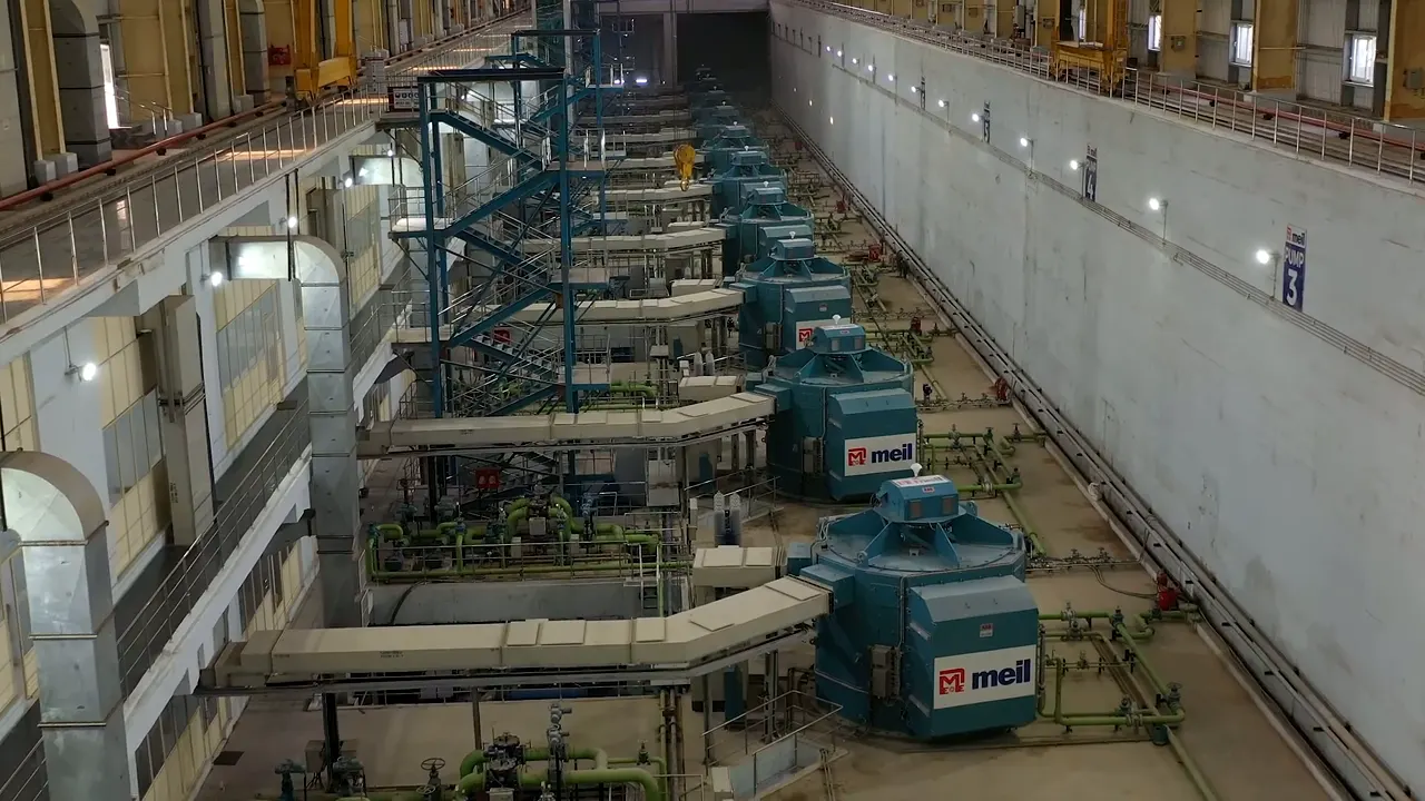
Inside the Lakshmi pump house: a long hall lined with large pump motor units
The machines

Where the river turns around.

The pumps at Kannepalli lift the Godavari 20 metres out of the Medigadda pond and send it flowing backwards, upstream, toward Annaram, 2 TMC every day.

+20metres lifted
2TMC every day
Lakshmi pump house, Medigadda · MEIL, CC BY 3.0
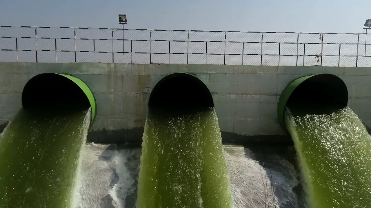
Three large delivery pipes discharging water under pressure into a channel
The delivery

And it comes out higher up.

River water arriving under pressure at a height the river could not reach on its own, on its way to the next pond in the staircase. This is the whole idea of Kaleshwaram in one photograph.

Lakshmi pump house, Medigadda · MEIL, CC BY 3.0
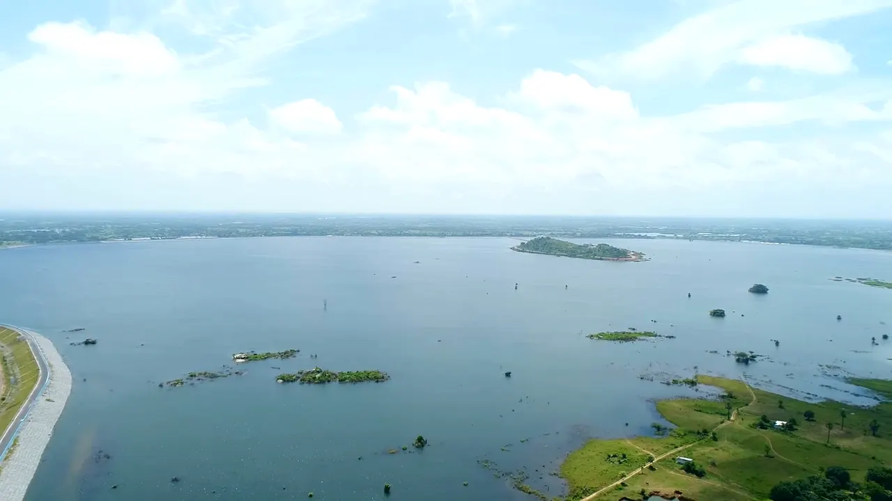
A wide Kaleshwaram reservoir with low islands, seen from the air under a bright sky
High ground

It stands where no river reached.

Behind each lift the water spreads into a reservoir on ground the Godavari never touched. Across the system there are fifteen of them, holding 141 TMC between them.

141TMC of storage
15reservoirs
Lakshmi pump house, Medigadda · MEIL, CC BY 3.0
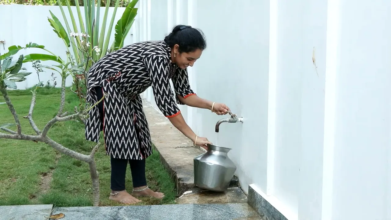
A woman filling a steel pot from a household tap beside a garden
What it was for

The end of the climb is a tap.

Forty TMC of the lifted river is drinking water, twenty of it for Hyderabad. The rest reaches thirteen districts of farmland that waited three generations for it.

40TMC drinking water
13districts reached
MEIL, CC BY 3.0
And then

Now do that nine more times.

Nine more lifts stand between this hall and Kondapochamma Sagar at 604 metres. The next question is what that height actually feels like.

Feel the Height

How high is 504 metres?

Scroll upward with the water. Every monument below is drawn to its true height, standing on the riverbank at Medigadda, and the lifted Godavari rises past them all.

Kondapochamma Sagar reservoir, the end of the 504 metre climb
+0 m
above the river at Medigadda

203 km

of tunnels, enough to drive underground from Hyderabad to beyond Warangal.

1,531 km

of canals: laid end to end they would nearly reach Delhi.

139 MW

drawn by a single Gayatri machine, roughly thirty express locomotives pulling at once. There are seven of them, underground.

141 TMC

of storage: about four lakh crore litres, more than a lakh litres for every person in Telangana.

The Whole System · 7 Links

Explore the machine that moves a river

From Mid Manair and Mallanna Sagar the lifted river fans out across seven links: north to the SRSP, west to Singur, south to Kondapochamma and Chityala. Three barrages, fifteen reservoirs, twenty-one pump houses, nineteen substations; 1,531 km of canals, 203 km of tunnels, 98 km of pressure mains. Tap any structure for its story.

Layers
Use two fingers to move the map
0 m
Metres climbed

0
Take the controls

Now run it yourself.

A working scale model of the whole system, cut from the real land of Telangana. Hold the Godavari behind the barrages, start the nine pump houses, and carry the river 504 metres up to the fields, the taps and the factories.

Operate Kaleshwaram →
Ten pools · nine lifts · three barrages · all of it live at once
What the Climb Bought

One project, measured

The core river-to-plateau system was built in a record three years (2016–2019), its crowning reservoirs dedicated by 2022, reaching thirteen districts that had never known assured irrigation.

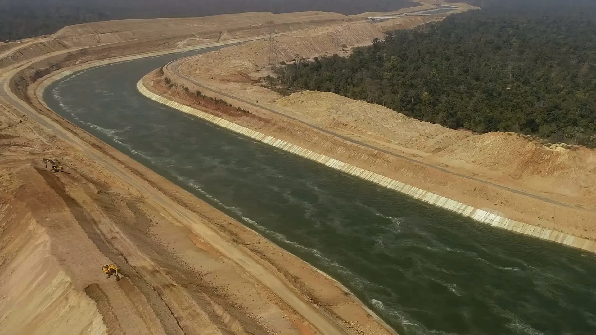
A Kaleshwaram gravity canal carrying water away from the pump house
1,531km

Gravity canals carrying the lifted water onward, and 203 km of tunnels bored through the granite of the plateau.

Kaleshwaram, Link I · MEIL, CC BY 3.0
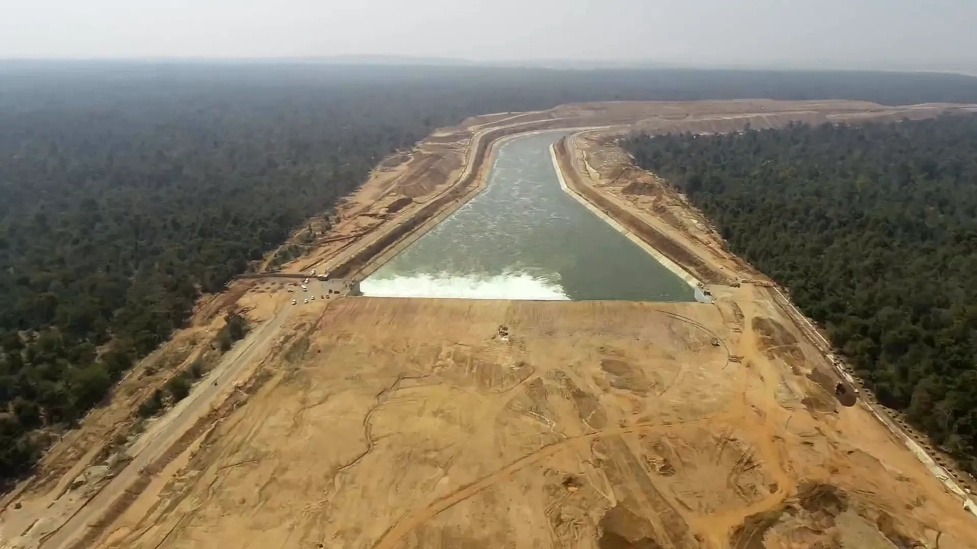
Water fanning out from a Kaleshwaram outfall
4,959MW

The power system that keeps the river climbing, drawn across nineteen substations.

Kaleshwaram, Link I · MEIL, CC BY 3.0
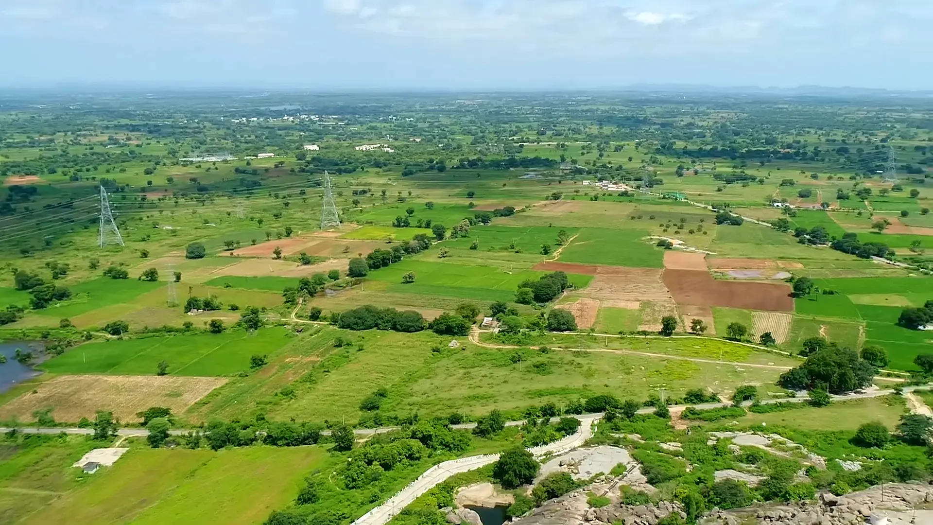
Irrigated fields under the Kaleshwaram system
18.25lakh acres

New ayacut created. Another 18.82 lakh acres stabilised. This is what the climb was for.

Kaleshwaram, Link I · MEIL, CC BY 3.0
The full ledger
Figures: I&CAD line diagram of the Kaleshwaram Project · the Telangana Library record (2023) · published public figures.

For a land that spent sixty years asking for its share of water,
Kaleshwaram is the answer written in concrete and steel:
Telangana controls its own rivers now.

Share